From $30
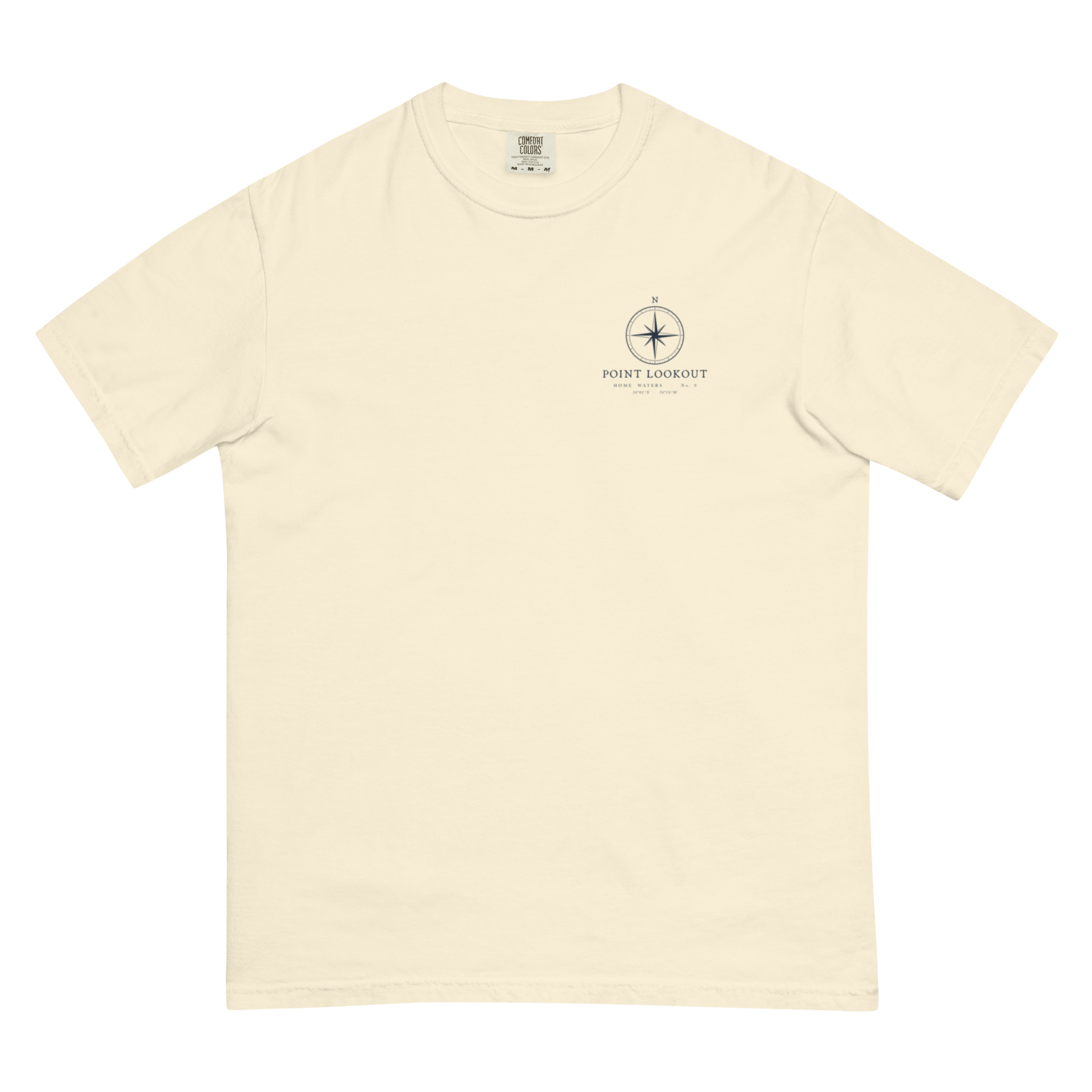
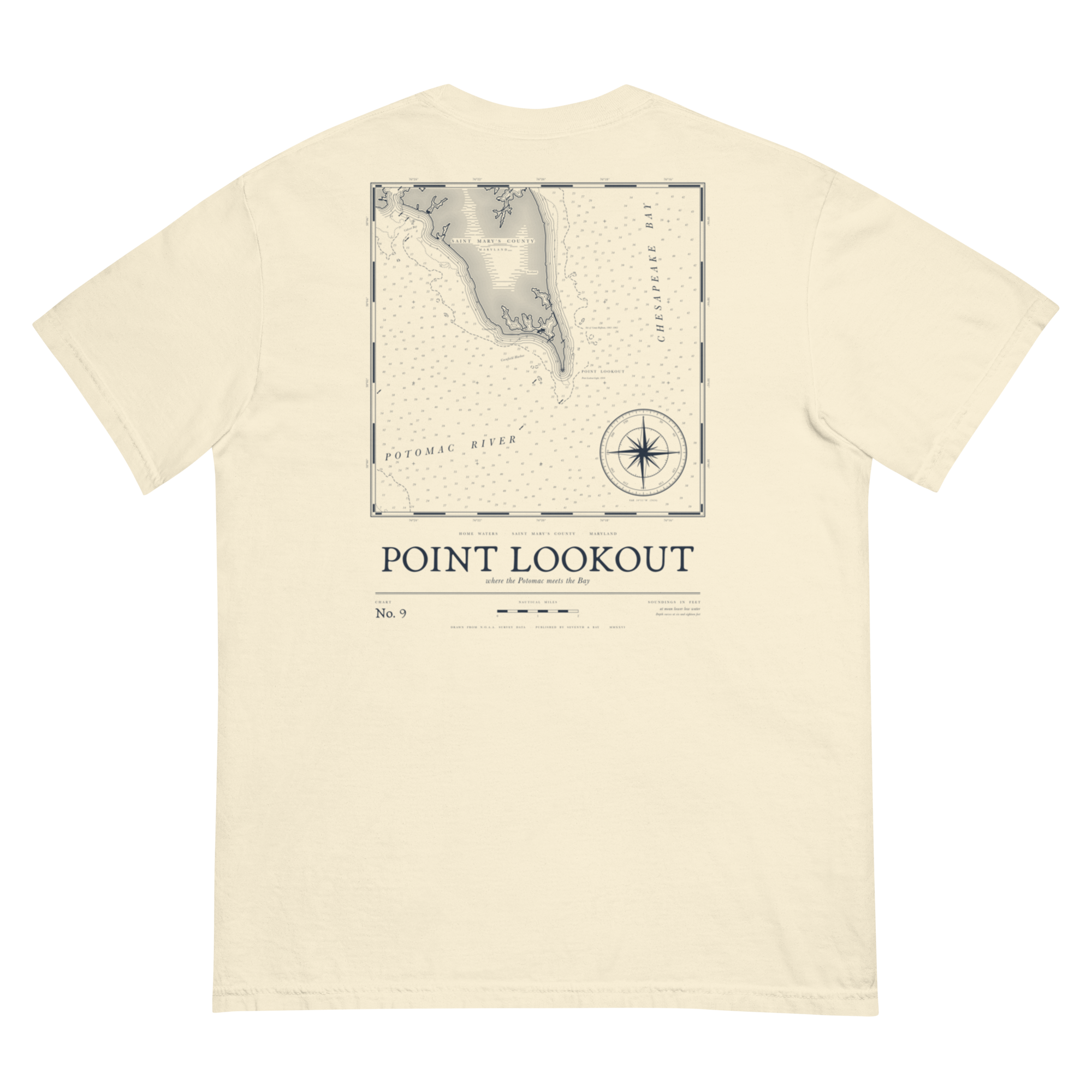
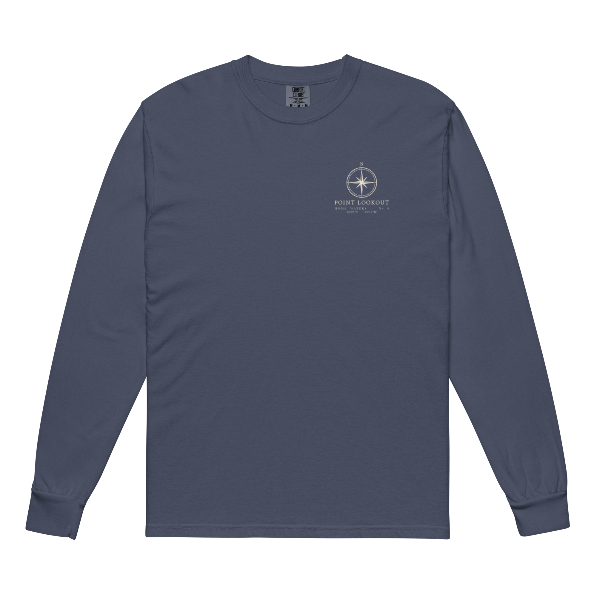
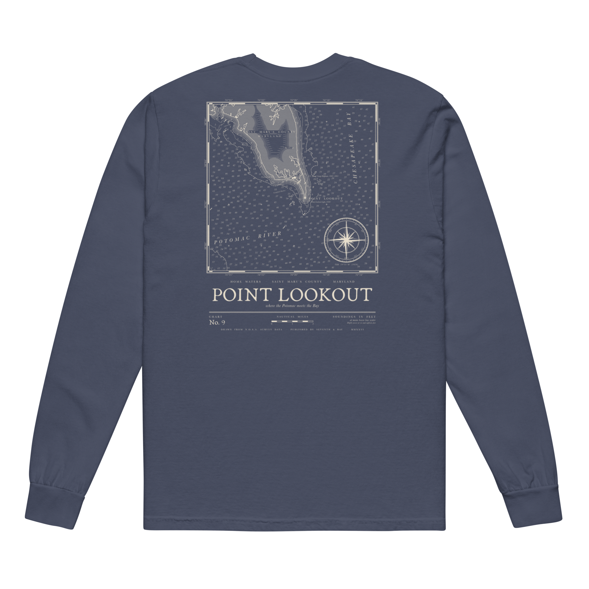
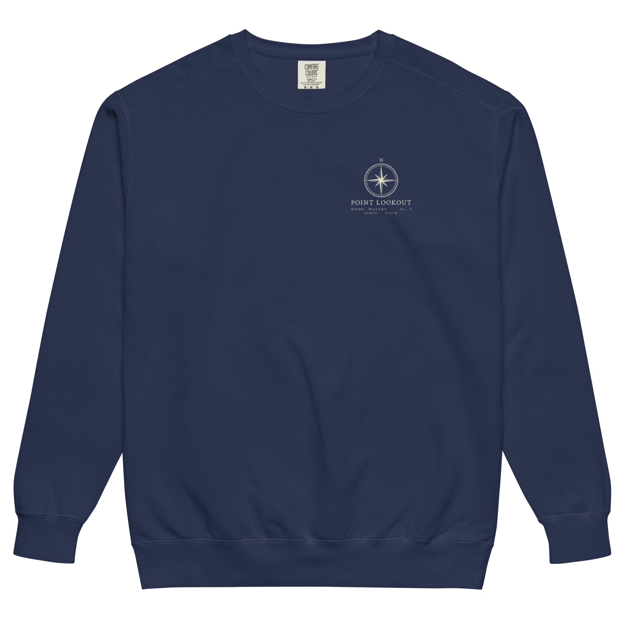
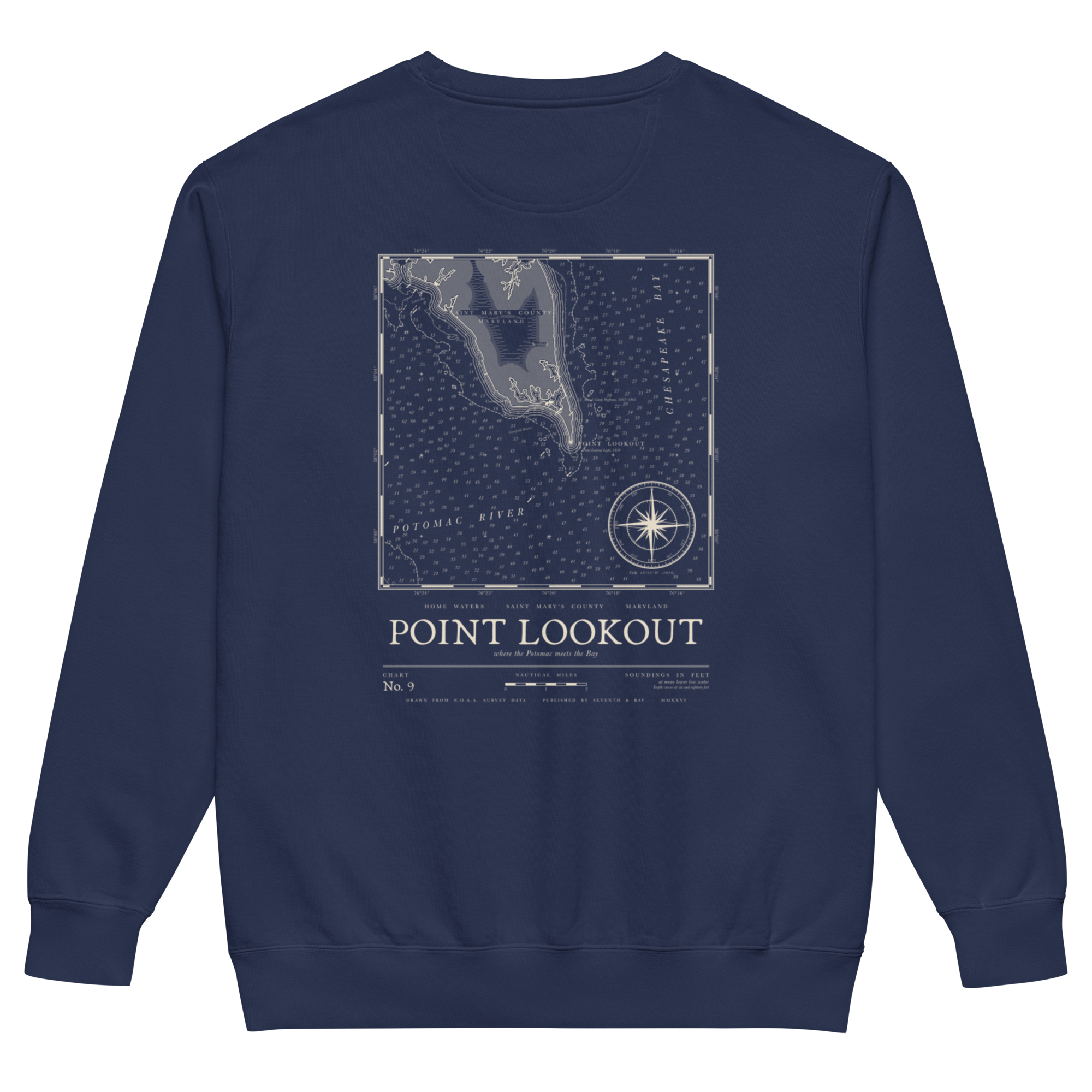
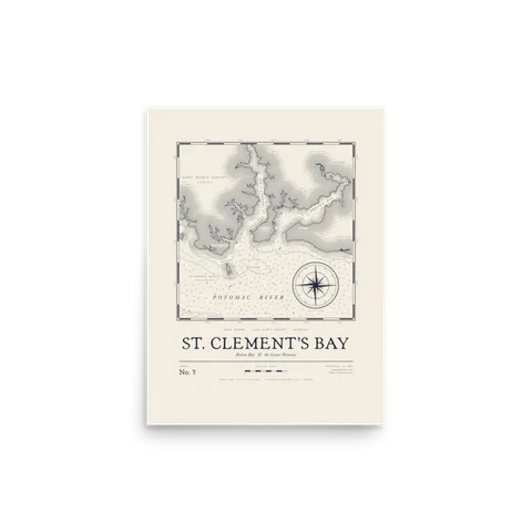
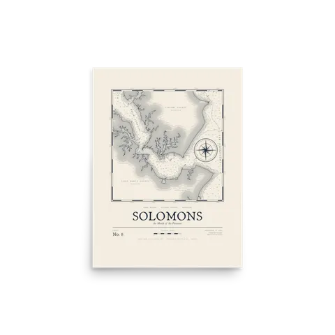
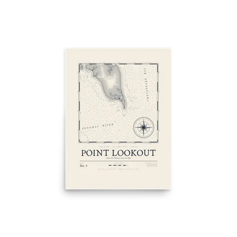
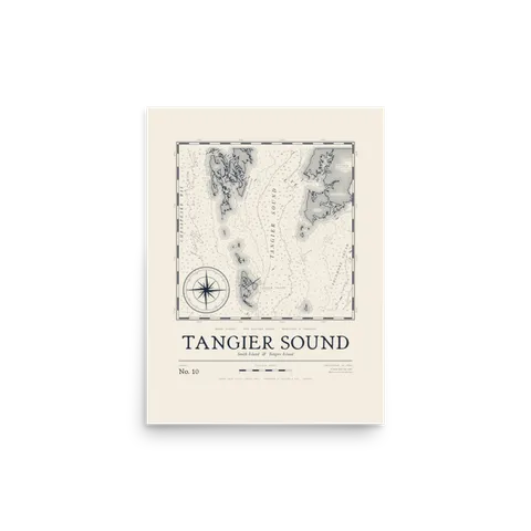
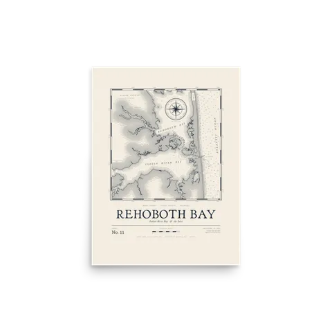
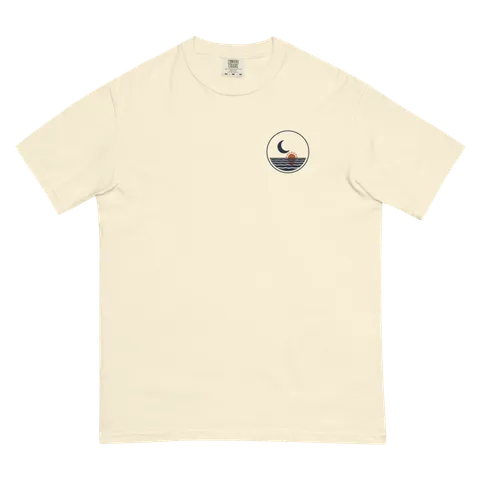
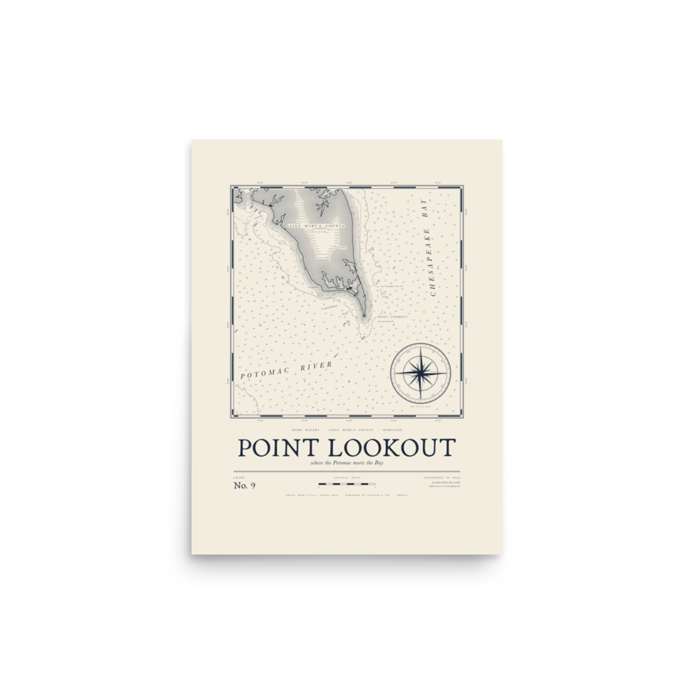
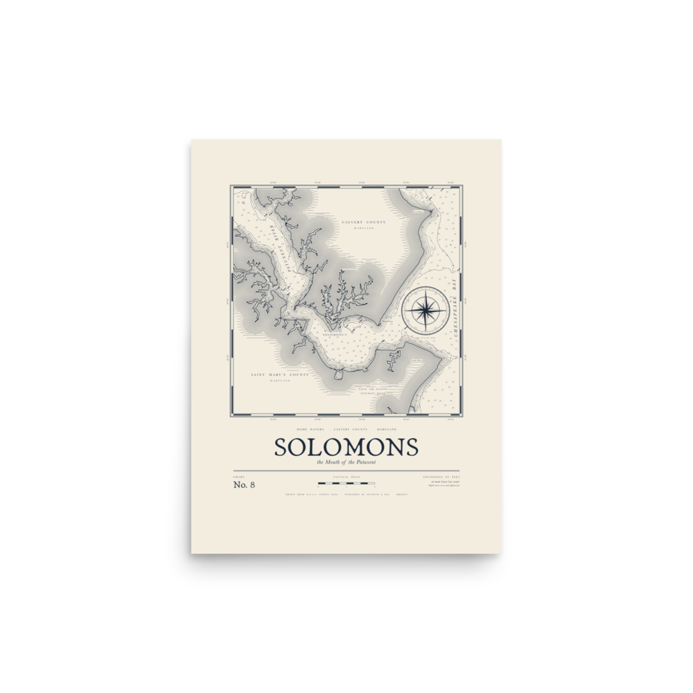
Five stretches of water, drawn like old engraved survey charts: St. Clement’s Bay, Solomons, Point Lookout, Tangier Sound and Rehoboth Bay. Each one comes as a print sized for standard frames, a tee, a long sleeve and a crewneck.Five stretches of water, drawn like old engraved survey charts: St. Clement’s Bay, Solomons, Point Lookout, Tangier Sound and Rehoboth Bay.
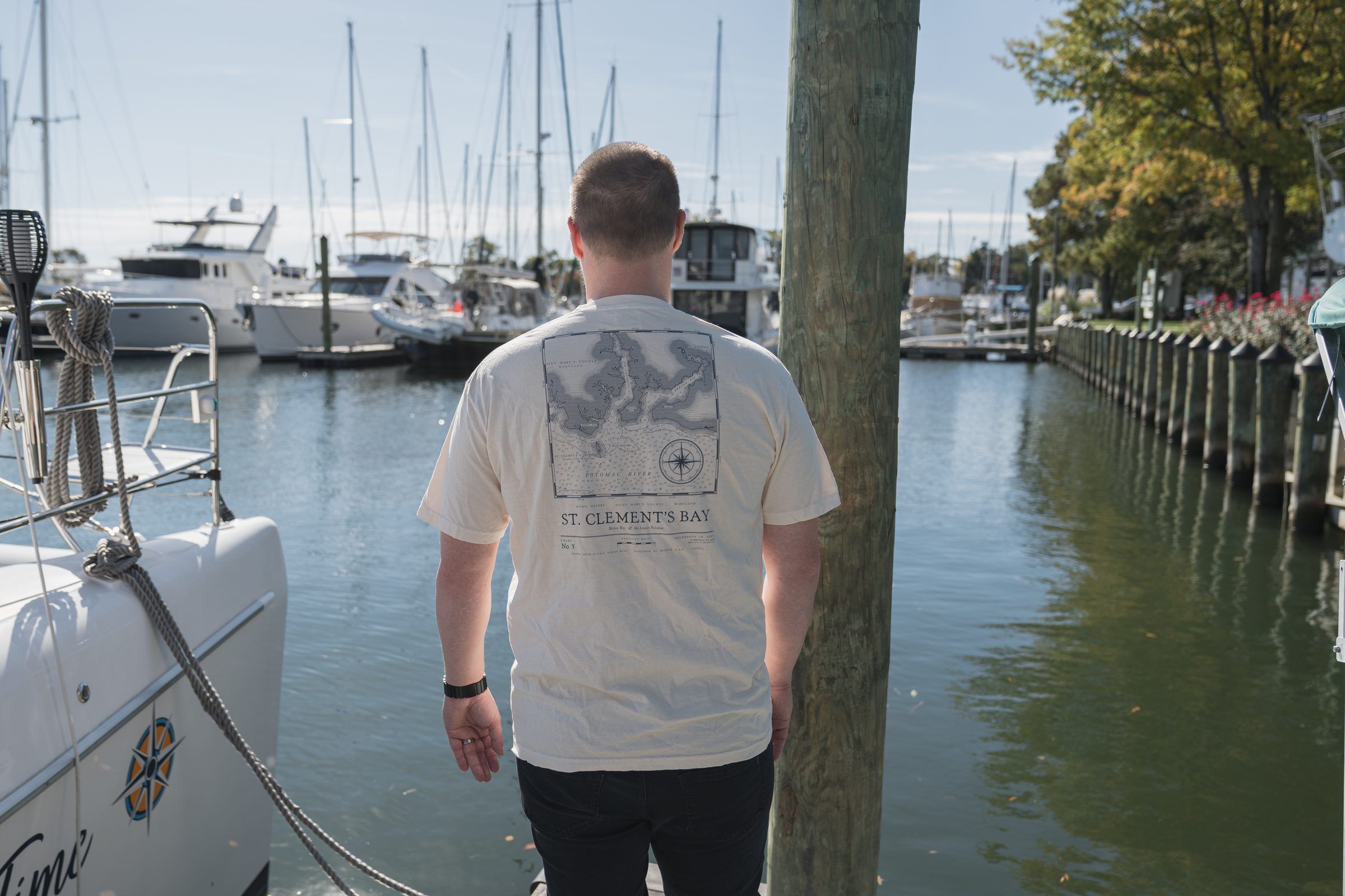
Where the Potomac meets the Bay · St. Mary’s County
Why charts
Each chart is drawn like an old survey, with depth soundings in feet, a compass rose, and the creeks and points that don’t show up on a road map. Navy ink on the ivory pieces, light ink on the dark ones.
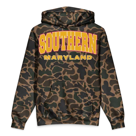
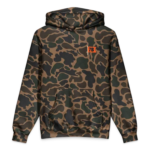
Read: Home Waters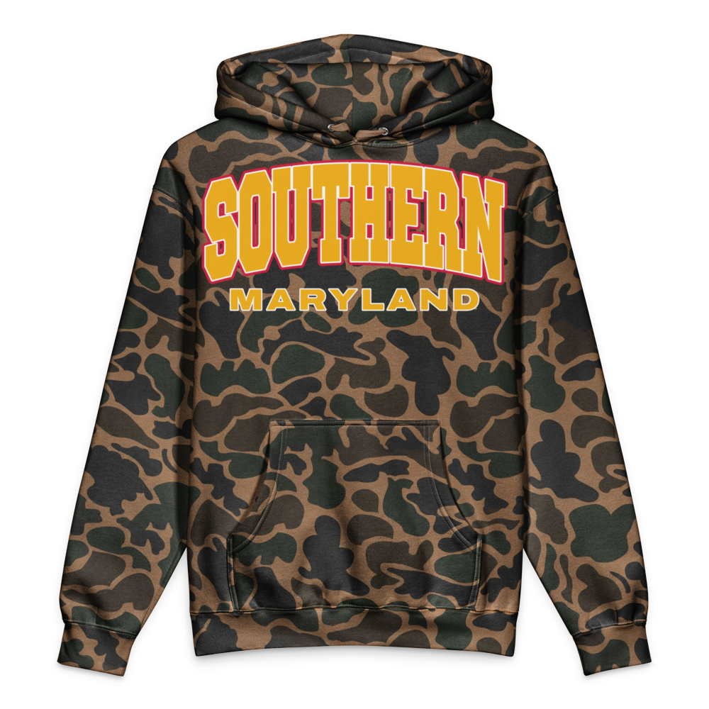 LocalA duck camo hoodie with your town arched across the chest and its county underneath.Shop LocalShop Local →
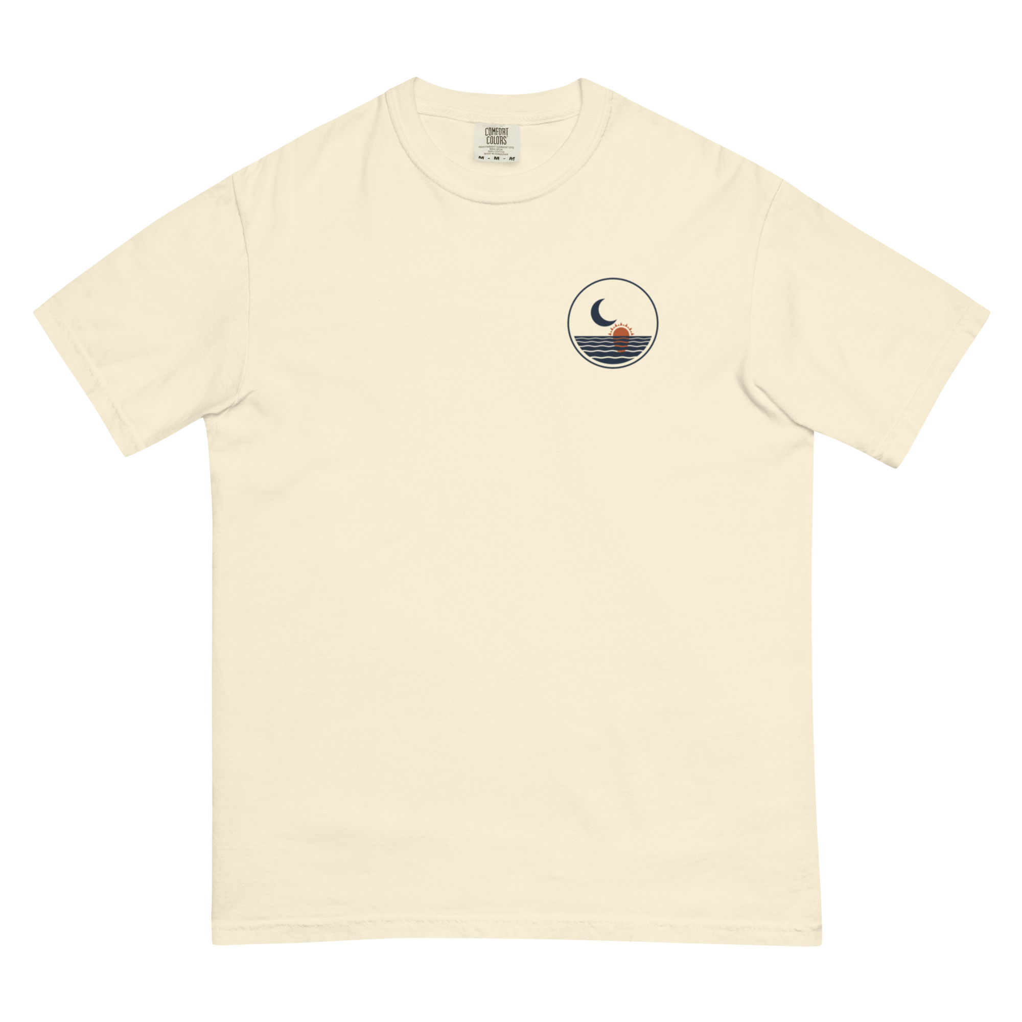 SolunarOne design, drawn like a page from an old almanac: an engraved moon holding a sun, all eight phases, and the coordinates of home waters.Shop SolunarShop Solunar →