Home Waters: The Story Behind Our Chart Series
Five stretches of water, from the lower Potomac to the Delaware inland bays, drawn like old engraved survey charts.
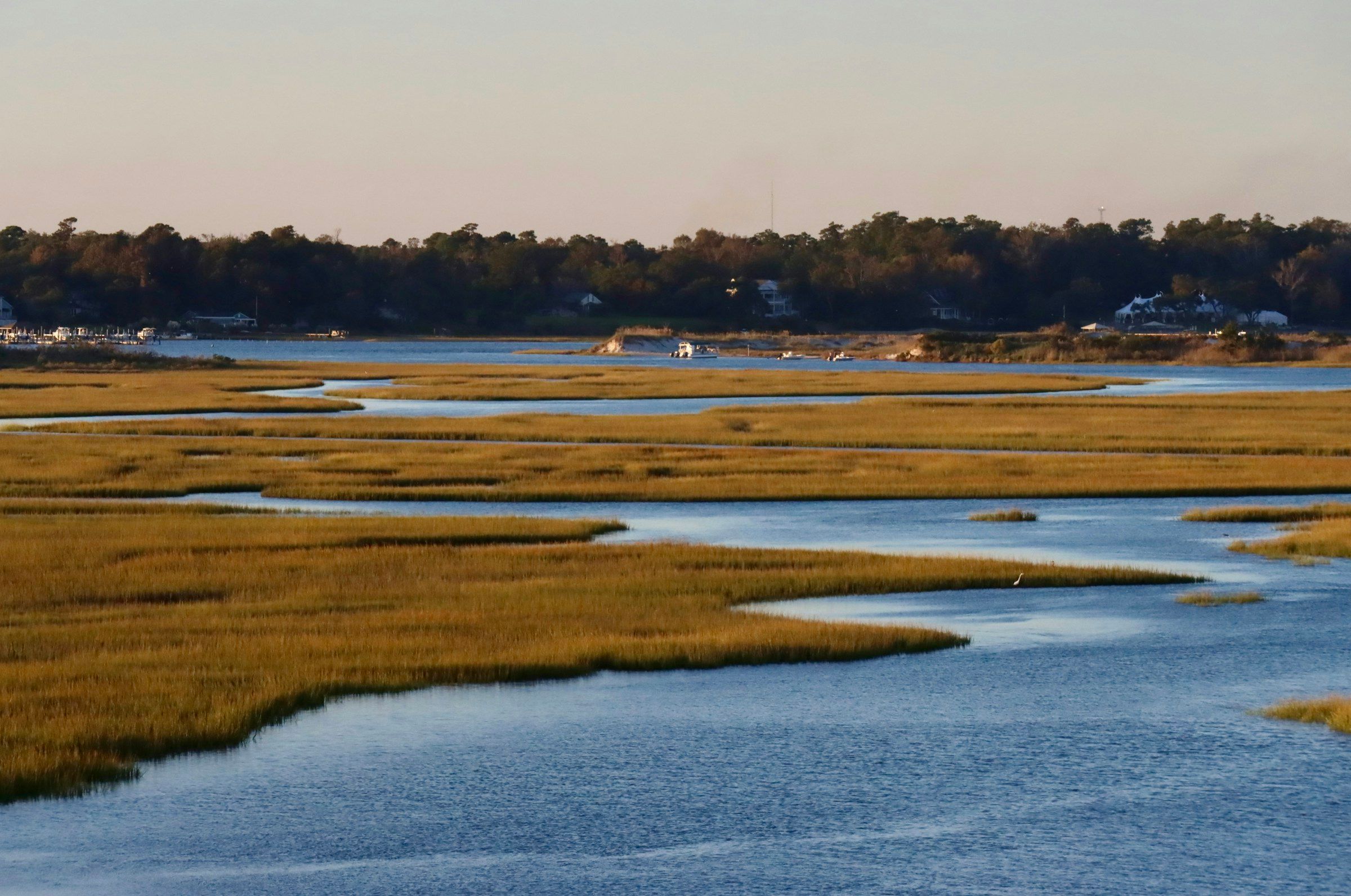
Ask someone from around here where they’re from and you’ll often get a body of water instead of a town. Breton Bay. The Patuxent. The sound. Water is how a lot of people here give directions, and how they remember where things happened.
Why charts
Nautical charts were made for one job: getting a boat from here to there without running aground. That’s exactly what makes the old ones so good to look at. Every number on the water is a depth in feet. Every point and creek has a name. Nothing is there for decoration, and they come out beautiful anyway.
We drew the Home Waters series in the style of those engraved survey charts, traced from survey data, with soundings, a compass rose and a title block on each one. They’re numbered No. 7 through No. 11, and each covers a piece of water that matters to us.
The five charts
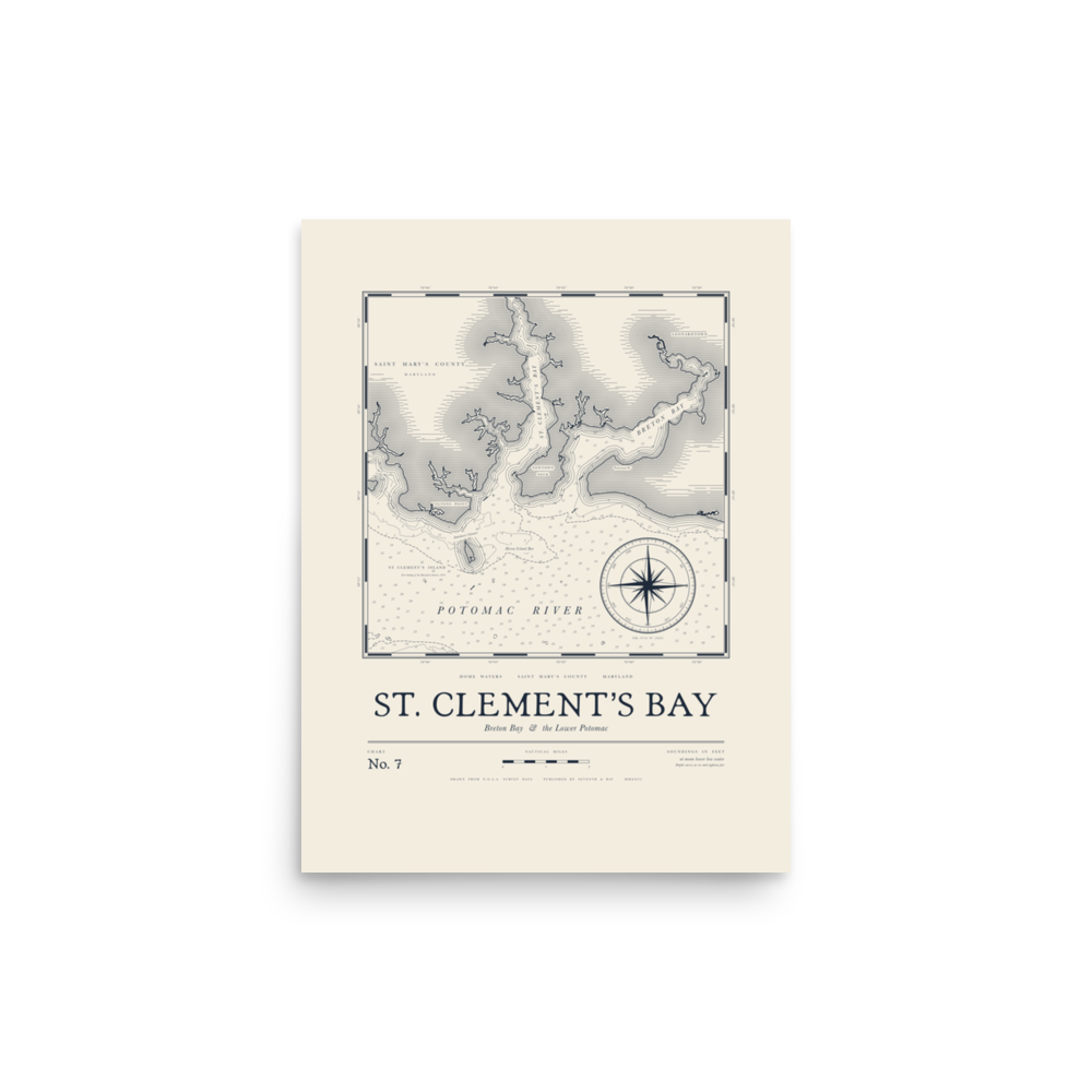
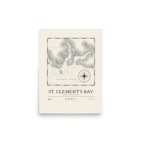
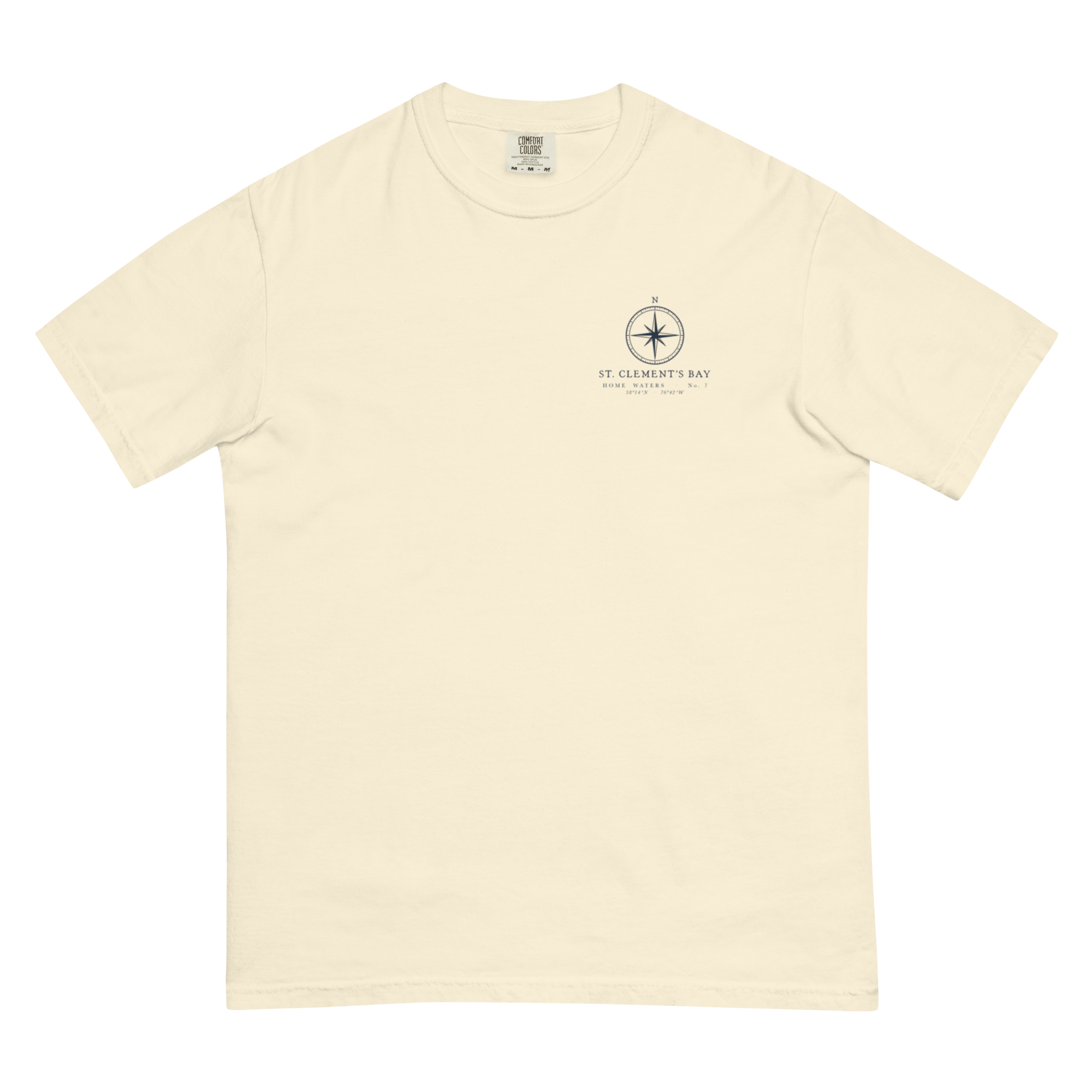
No. 7 · St. Clement’s Bay
Print from $30 · Tee from $40
St. Clement’s and Breton Bay where they open onto the lower Potomac, with St. Clement’s Island just off the mouth. Maryland’s first settlers came ashore there in 1634, and plenty of people around here learned to run a boat in these creeks.
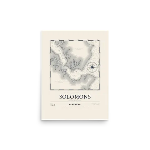
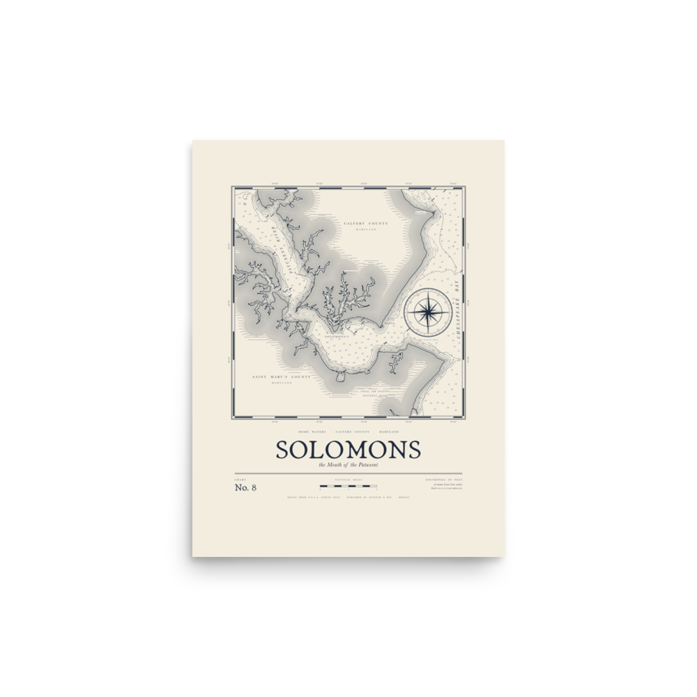
No. 8 · Solomons
Print from $30 · Tee from $40
The mouth of the Patuxent, with Solomons tucked inside the river, Calvert County to the north and St. Mary’s across the water. Charter boats, sailboats and workboats all funnel through here on their way out to the Bay.
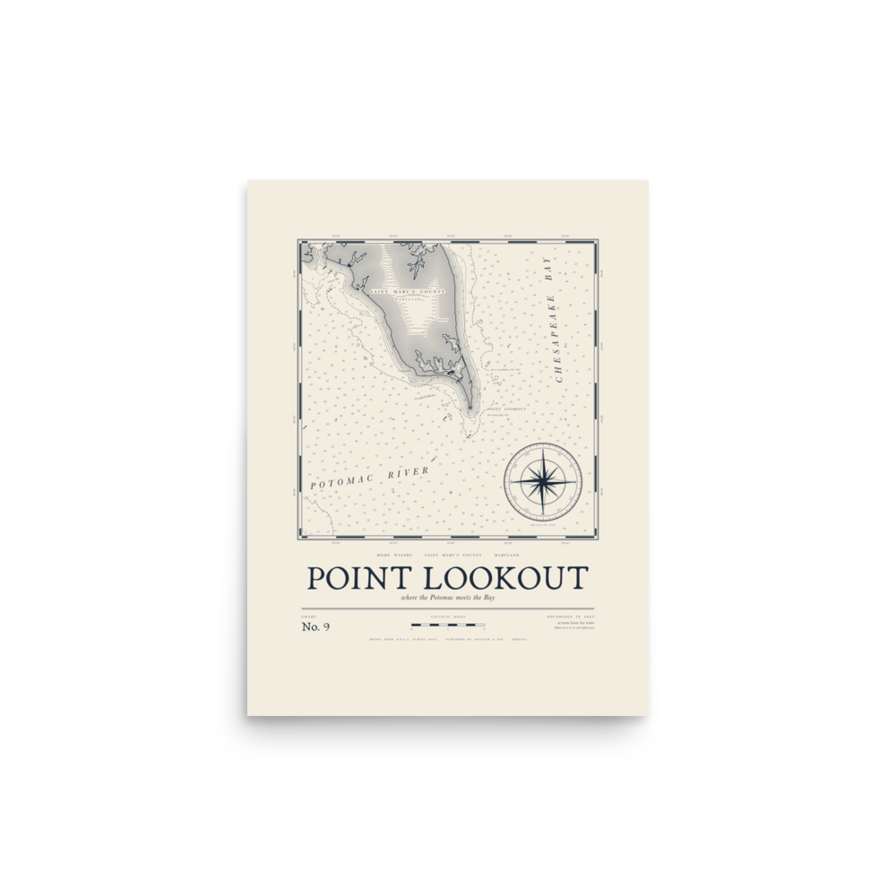
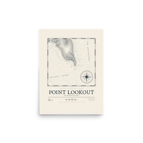
No. 9 · Point Lookout
Print from $30 · Tee from $40
The very bottom of St. Mary’s County, where the Potomac runs into the Chesapeake. There’s been a lighthouse on the point since 1830, and the tip is a well-known fishing spot.
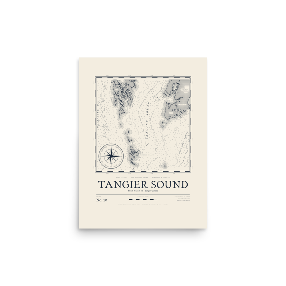
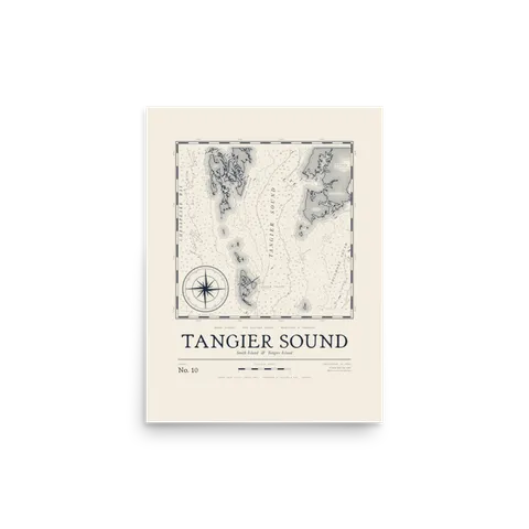
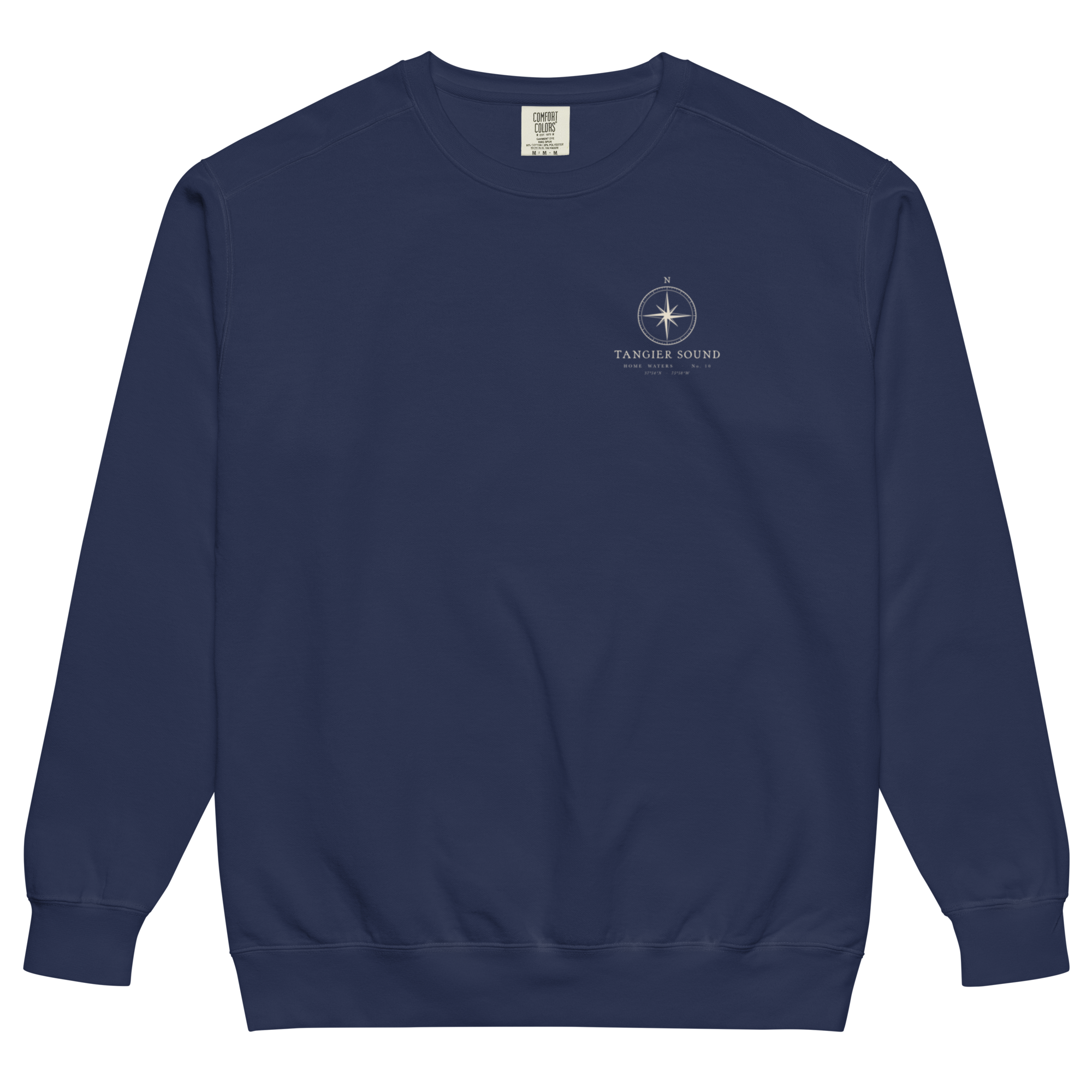
No. 10 · Tangier Sound
Print from $30 · Tee from $40
Across to the Eastern Shore, with Smith Island on the Maryland side and Tangier Island on the Virginia side.
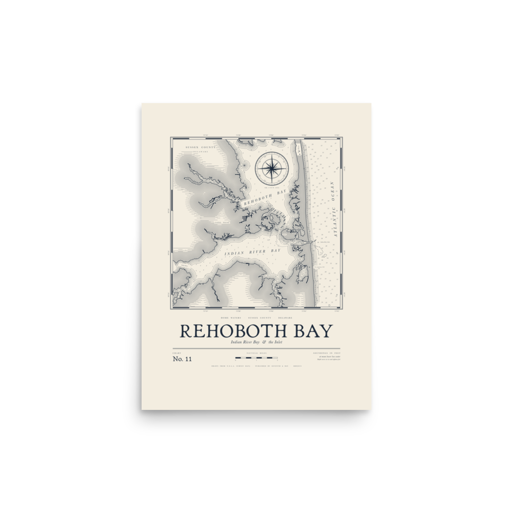
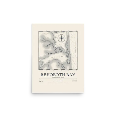
No. 11 · Rehoboth Bay
Print from $30 · Tee from $40
Up the coast to Delaware’s inland bays, Rehoboth and Indian River, with the inlet cutting through to the Atlantic. Summer traffic, clam rakes and a lot of first fish caught off the inlet rocks.
“Every number on the water is a depth in feet. Every point and creek has a name.”
Wear it or hang it
Each chart comes as a print on matte paper, sized for standard 12×16 and 18×24 frames. On the garments, a small compass rose badge marked HOME WATERS sits on the chest and the full chart runs across the back, printed direct to garment on Comfort Colors blanks so the ink stays soft.
Tell us your water.
Every chart starts with someone’s water. Tell us yours, whether it’s a creek, a river, a cove or a bay, and it goes on the list for the next one.
We’ll email you if we draw it.
From the Home Waters charts
From the story. Every chart comes on each of these.
- St. Clement’s Bay Chart Tee
- Solomons Chart Print
- Tangier Sound Chart Crewneck
All five waters
Tee + print + crewneck = $138. Ships free.
Shop the charts
Tee + print + crewneck = $138. Ships free. Shop all charts →