
Home Waters · Chart No. 7 →
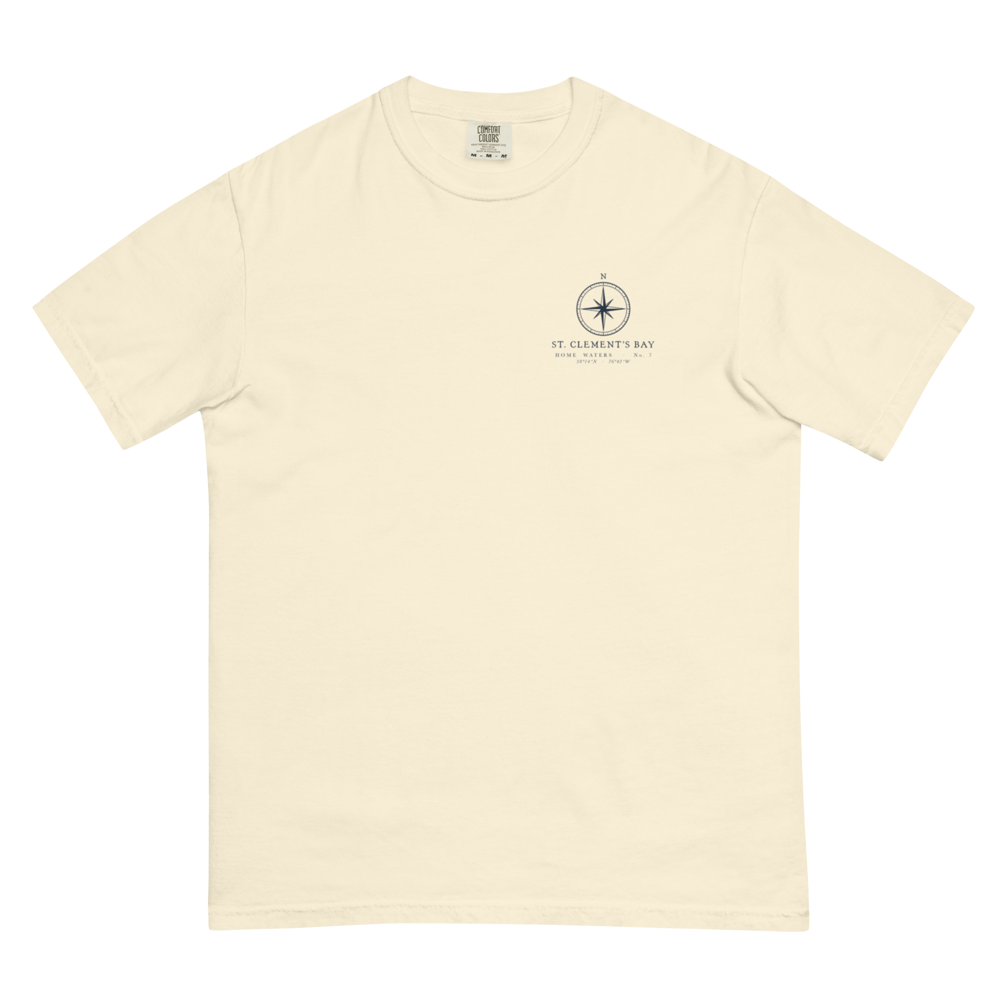
St. Clement’s Bay Chart Tee
$40
NewGarment-dyed tee · Navy chart on ivory
or 4 interest-free payments of $10.00
- Printed for you · made to order · ships in 2–5 business days
- Free shipping on orders $100+
- Replaced free if damaged or wrong
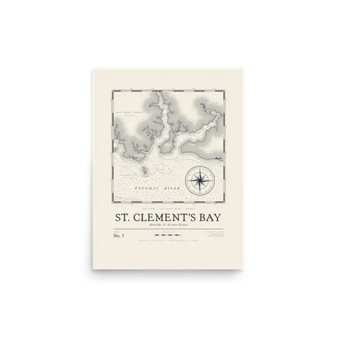
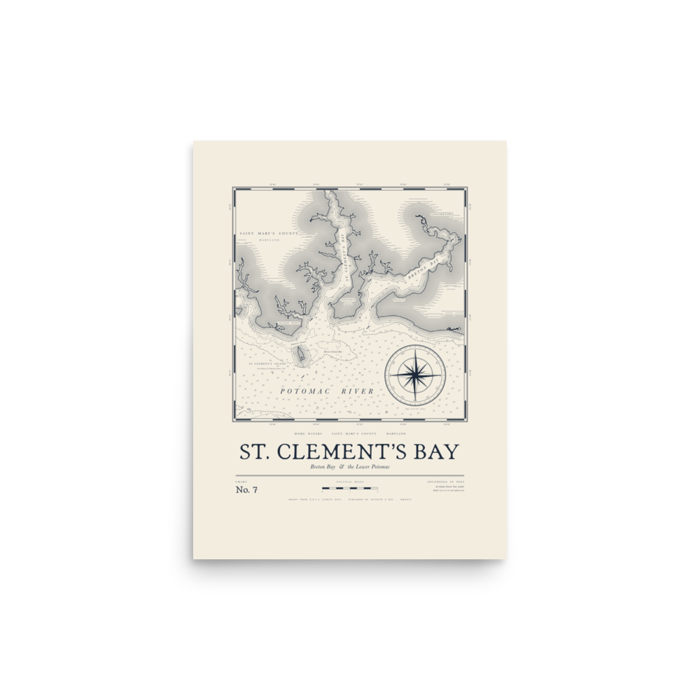
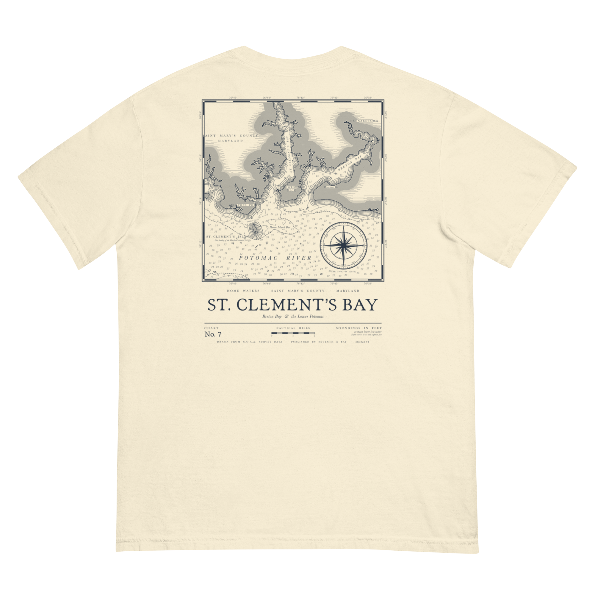
Chart No. 7 covers St. Clement’s Bay and Breton Bay where they open onto the lower Potomac, with St. Clement’s Island sitting just off the mouth. That’s where Maryland’s first settlers came ashore in 1634, and it’s still where plenty of people around here learned to run a boat. Drawn in the style of an old engraved survey chart, with depth soundings in feet, a compass rose and the creeks and points marked by name.
Home Waters · No. 7
St. Clement’s Bay. Breton Bay and the lower Potomac.
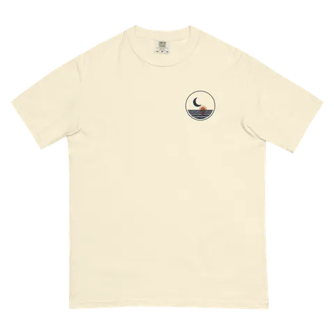
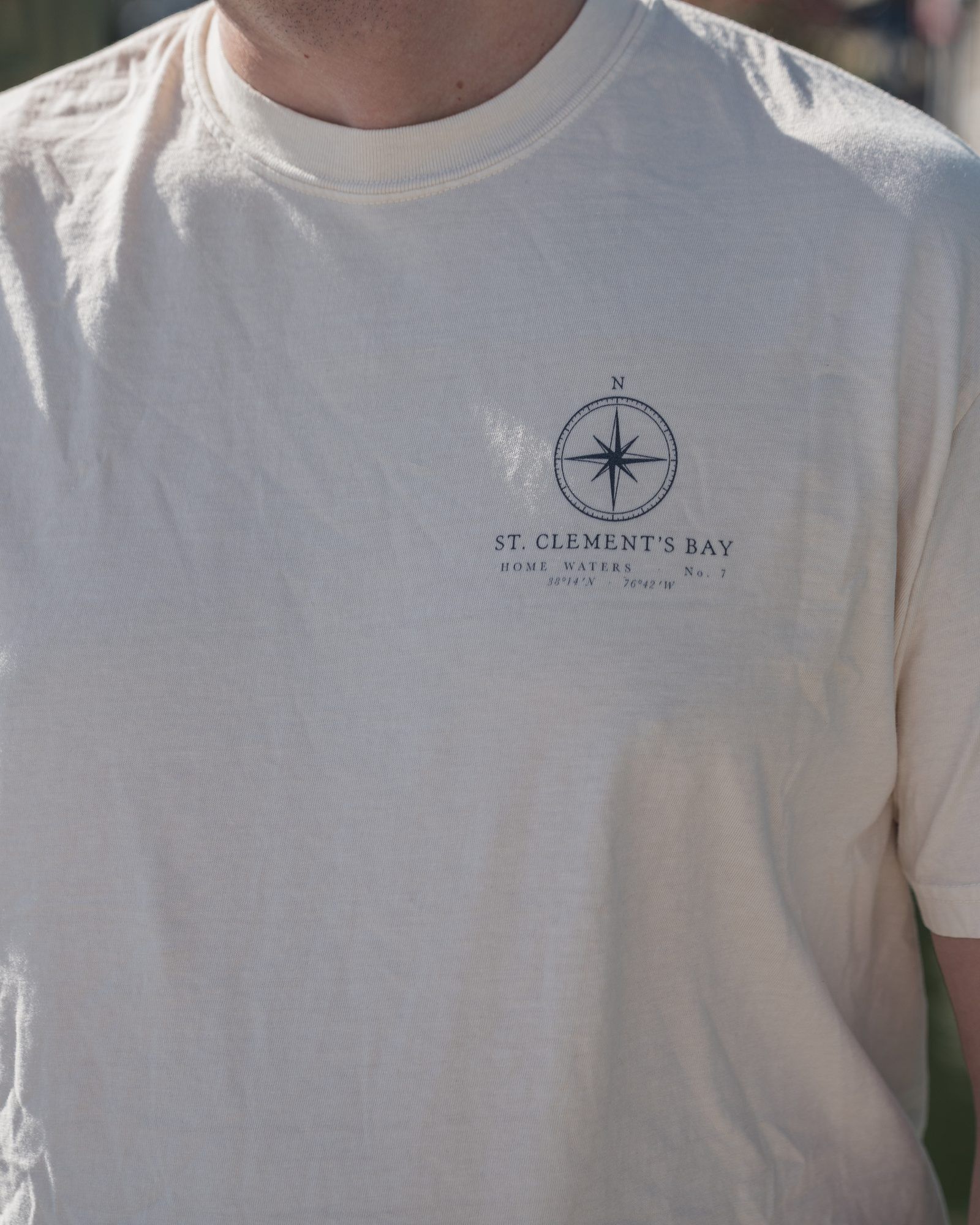
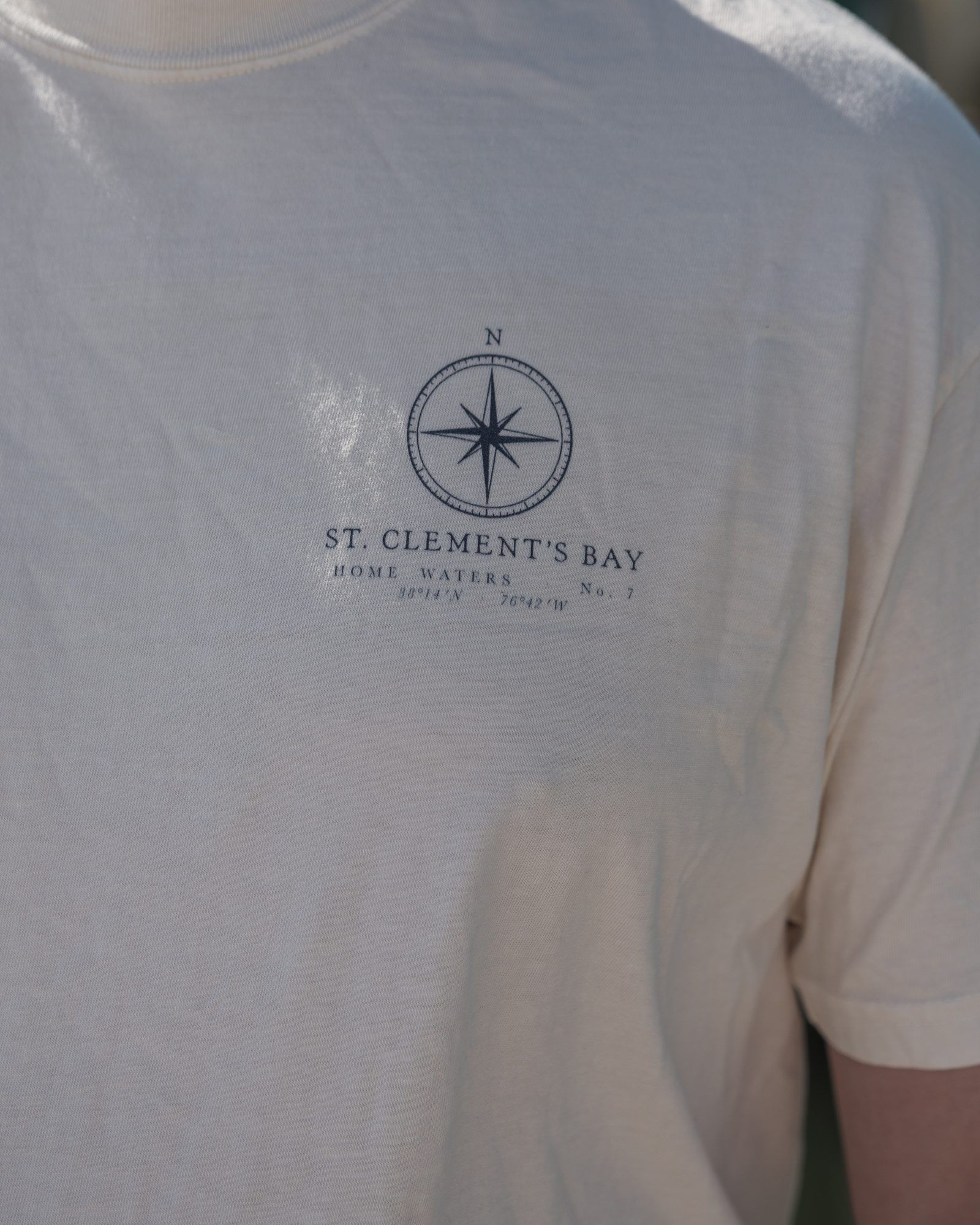
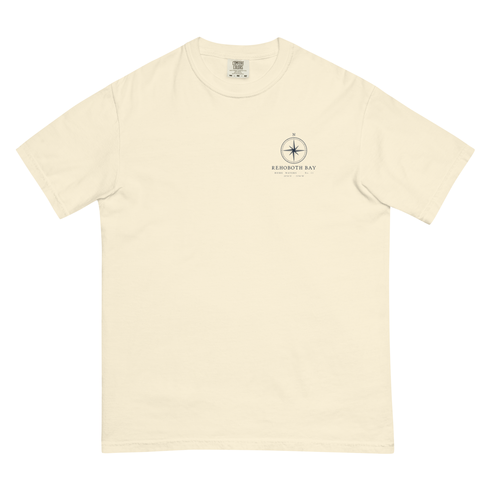
Our chart of St. Clement’s Bay and Breton Bay off the lower Potomac on a garment-dyed Comfort Colors tee: navy ink on Ivory, bone on True Navy and Blue Jean. Small compass rose up front, the whole chart across the back.
Read the Field Note →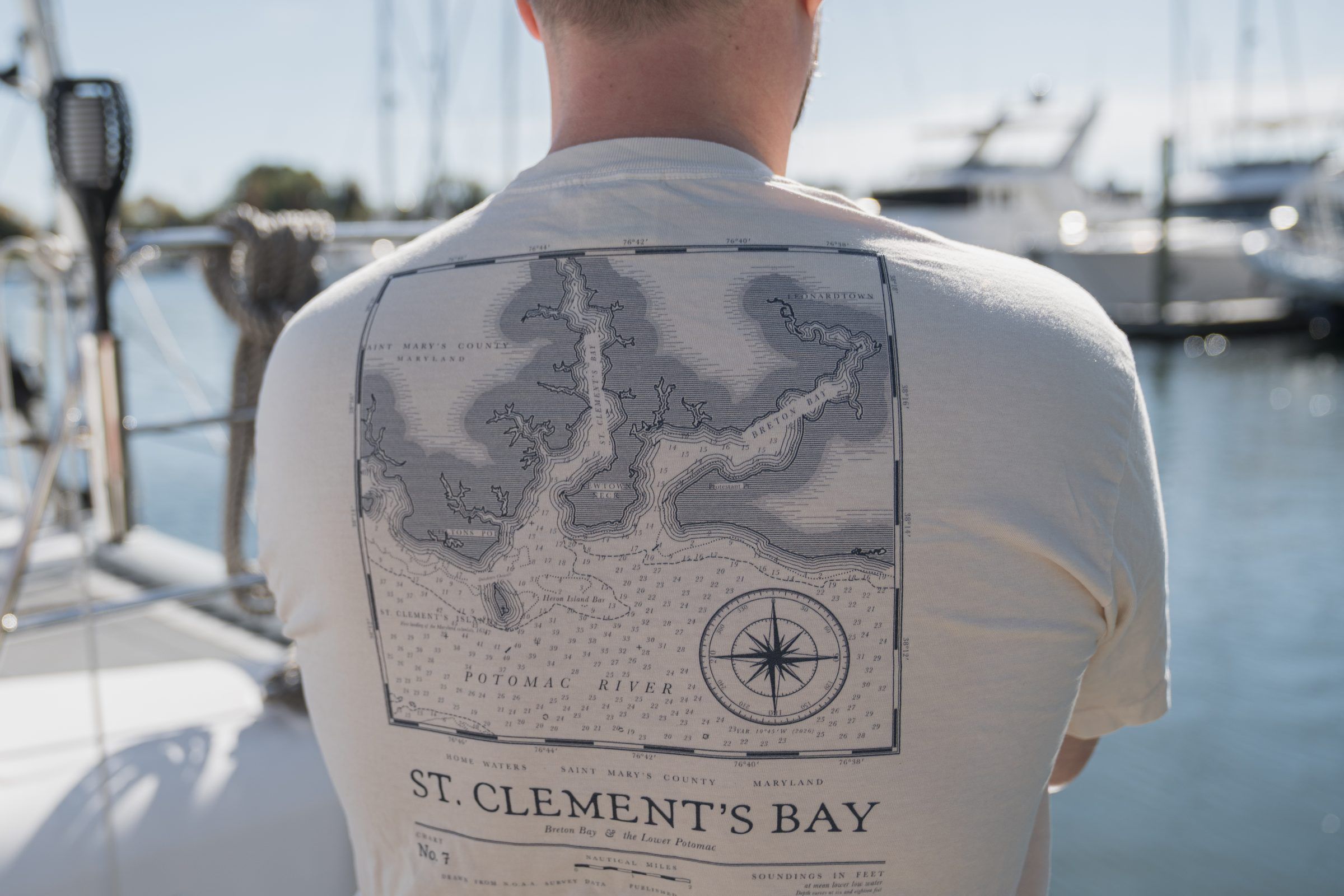
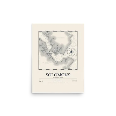
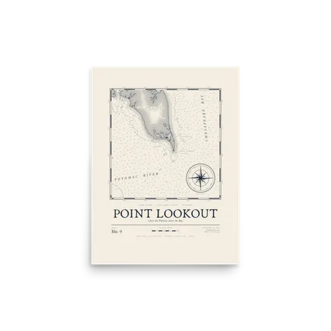
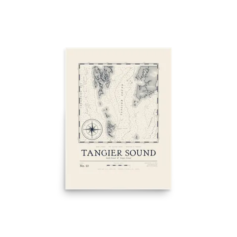
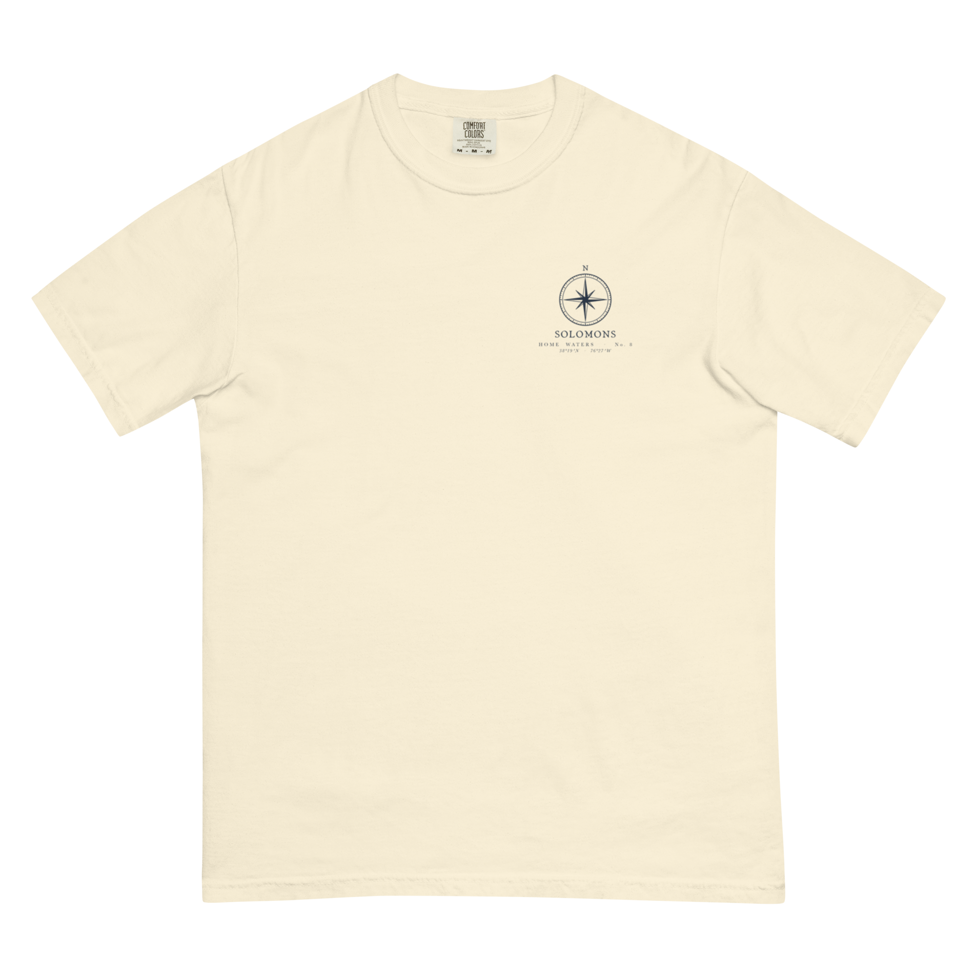
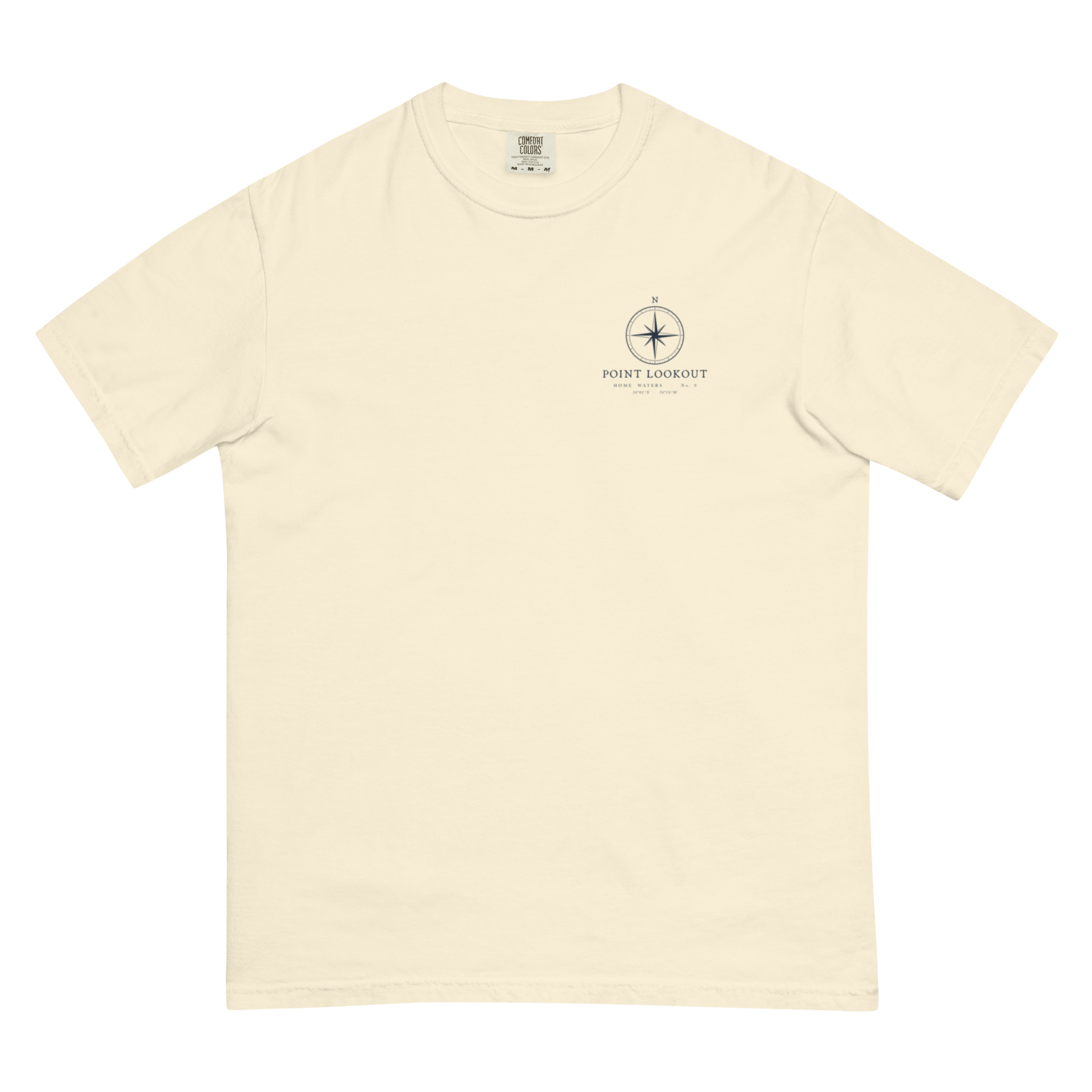
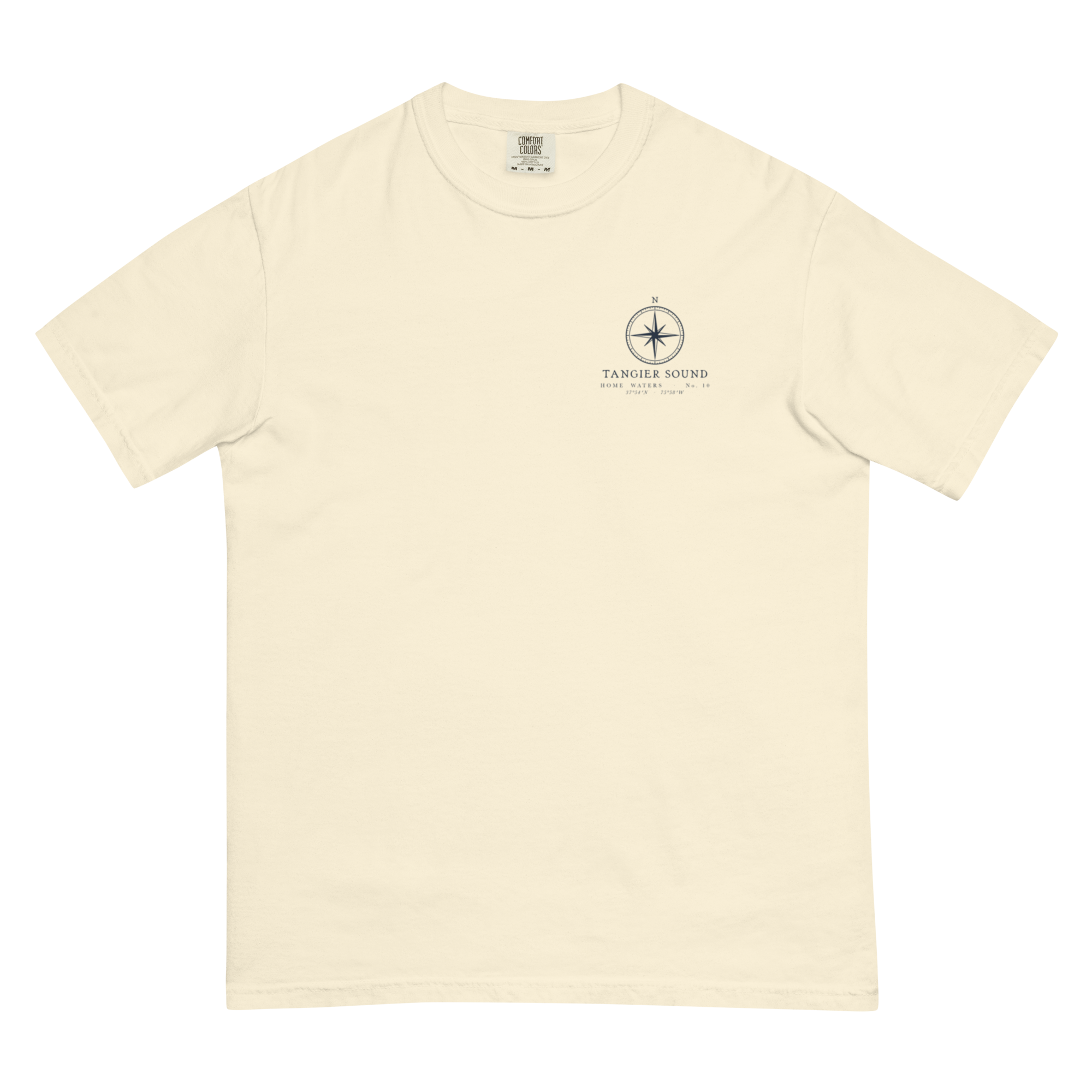
Pairs with it
All together it comes to $138 — and ships free.

Drawn in St. Mary’s County
Every design is drawn here, from a chart, a town or a flag.
Printed after you order
Our print partner makes it once you order, then ships it, usually in 2–5 business days.
Replaced free
If it shows up damaged or wrong, we replace it.