
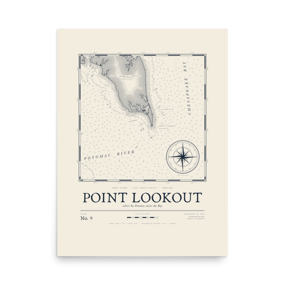
Home Waters · Chart No. 9 →
Point Lookout Chart Print
$40
NewChart print · 12×16 or 18×24
or 4 interest-free payments of $10.00
- Printed for you · made to order · ships in 2–5 business days
- Free shipping on orders $100+
- Replaced free if damaged or wrong
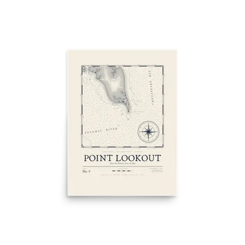
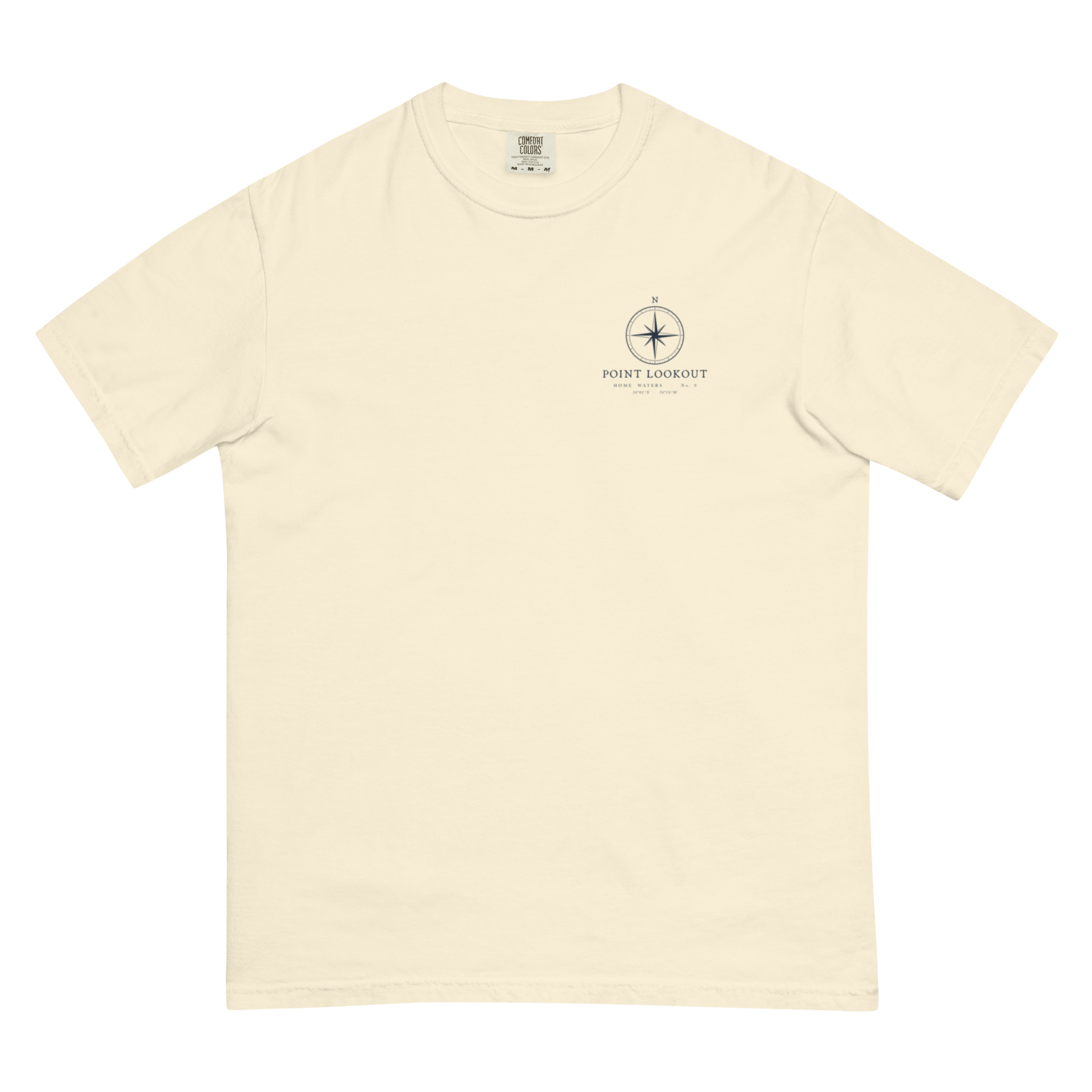
Chart No. 9 is the very bottom of St. Mary’s County, the thin point of land where the Potomac runs into the Chesapeake. There’s been a lighthouse on the tip since 1830, and the point is a well-known fishing spot. Drawn in the style of an old engraved survey chart, with depth soundings in feet, a compass rose and the shoreline traced from survey data.
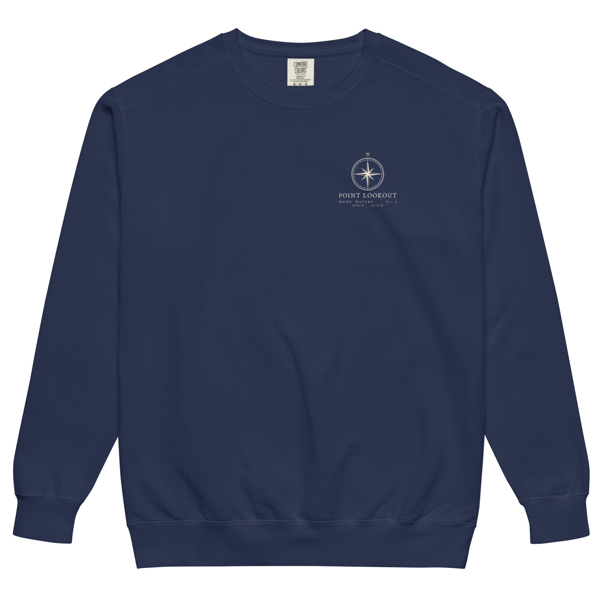
Home Waters · No. 9
Point Lookout. Where the Potomac meets the Bay.
The full chart of Point Lookout, where the Potomac meets the Chesapeake, printed on matte paper. Sized for standard frames.
Read the Field Note →Pairs with it
All together it comes to $148 — and ships free.
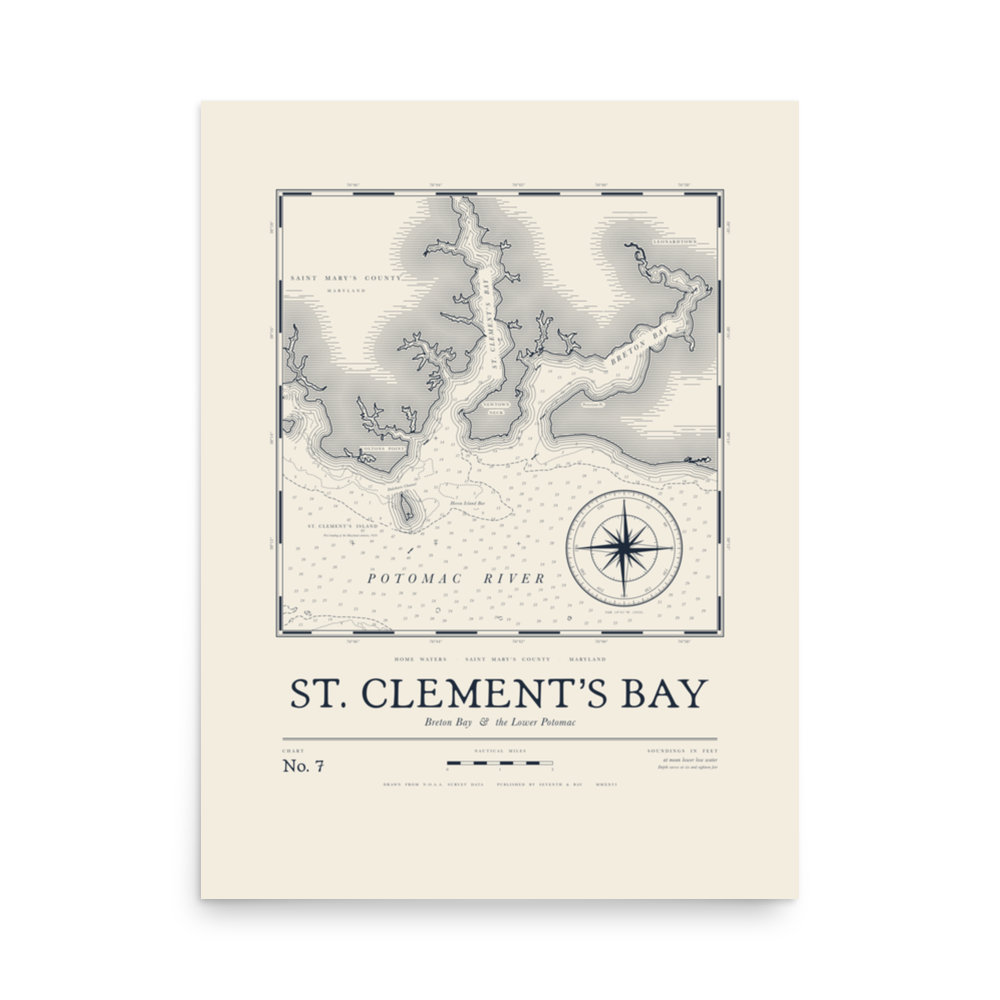
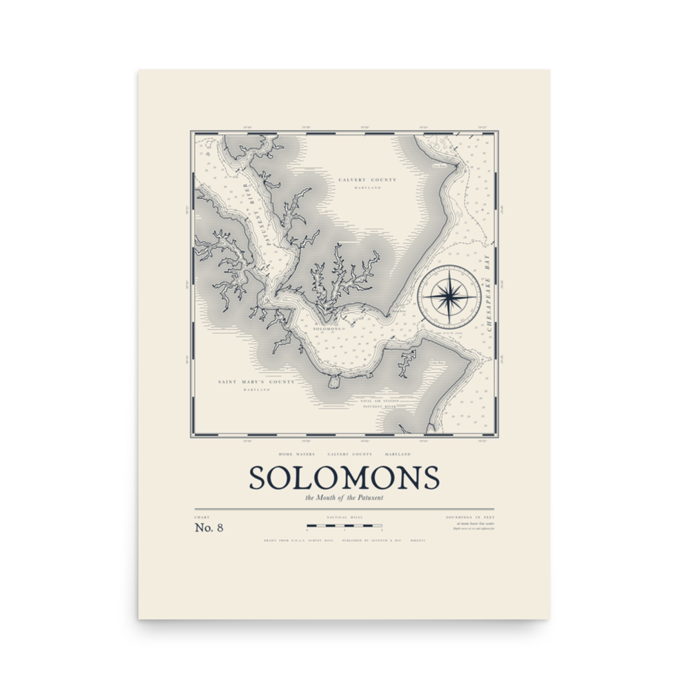
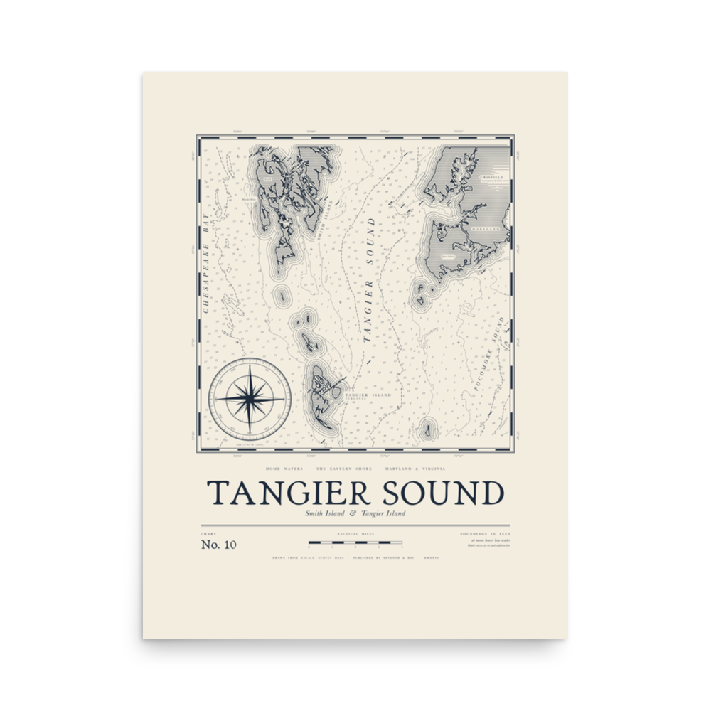
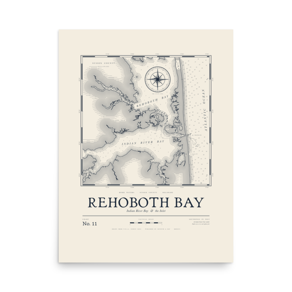
Drawn in St. Mary’s County
Every design is drawn here, from a chart, a town or a flag.
Printed after you order
Our print partner makes it once you order, then ships it, usually in 2–5 business days.
Replaced free
If it shows up damaged or wrong, we replace it.